11 stops
Décima Route
Décimas, ten-line poems, dedicated to viewpoints, squares and landscapes of Fuencaliente. At each stop, a plaque holds a ten-line poem about the place.
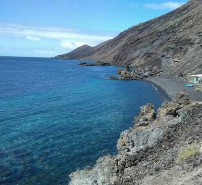
Eleven themed routes across the municipality: viewpoints, volcanoes, wineries, beaches, sculptures… Each route links its stops in order and can be followed on the map.
11 stops
Décimas, ten-line poems, dedicated to viewpoints, squares and landscapes of Fuencaliente. At each stop, a plaque holds a ten-line poem about the place.
6 stops
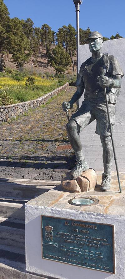
Sculptures and monuments in streets, parks, viewpoints and along the coast. The works recall the trades and traditions of the municipality.
10 stops
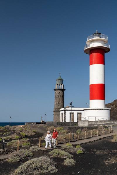
A selection for a first visit: Los Canarios, volcanoes, vineyards, lighthouses, salt pans and coast.
6 stops
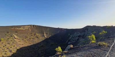
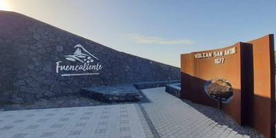
Volcanoes, lava fields and a visitor center to get to know the volcanic landscape of Fuencaliente.
9 stops
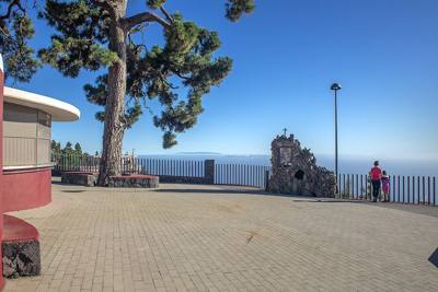
Viewpoints over volcanoes, vineyards, villages and coast. Several also hold plaques from the Décima Route.
1 stop
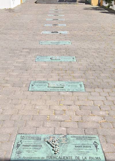
The Walk of Fame in Los Canarios commemorates the Transvulcania. Look up its editions, winners and race reports.
9 stops
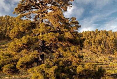
Rest areas, parks and spots in the pine forest for a break during your visit.
19 stops
Churches, interpretation centers, crafts, lighthouses and other places of cultural interest.
11 stops Closed
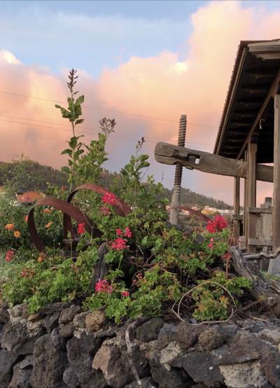
Wineries, wine presses and vineyards to discover the wine of Fuencaliente and how it is grown on volcanic soil.
The signposted trails of the municipality, each with its PDF leaflet.
Trail · 4 stops
Municipal trail from Los Canarios to the village of El Charco, past the viewpoint of the same name.
Trail · 3 stops
Municipal trail from Los Canarios to La Zamora beach, passing by the San Antonio volcano.
Trail · 4 stops Closed
Municipal trail from Los Canarios to the beach and recreational area of Puntalarga.
Trail · 6 stops
Municipal trail from Los Canarios to the Fuencaliente Lighthouse, between the San Antonio and Teneguía volcanoes and the salt pans.
Trail · 3 stops
Municipal trail from Los Canarios to El Puertito beach.
Trail · 5 stops
Southern section of the GR-131 long-distance trail: from the Martín volcano to the Fuencaliente Lighthouse via Los Canarios, San Antonio and Teneguía.