Route · 7 stops
Beaches
Black-sand beaches, pebble coves and small coastal spots in Fuencaliente.
Route map
Use ⌘/Ctrl + scroll to zoom · two fingers on touch screens
Discover the route
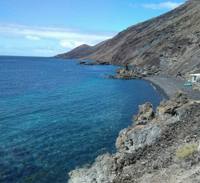
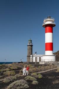
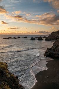
Beaches of dark sand, pebbles and small coastal spots along the 29 km of coastline of Fuencaliente, the municipality with the longest coast on the island. Echentive, born from the Teneguía lava in 1971; Las Cabras, with its site of aboriginal rock bowls; Puntalarga, with its recreational area and the Virgen del Carmen festivities; El Puertito, with its lupin-drying huts; and the two La Zamora beaches, inside the Marine Reserve. They differ in access and bathing conditions, and none has permanent lifeguards: check each page and the warnings before going near the sea.
Safety
- Check the sea state and weather alerts.
- Take extra care on unsupervised beaches.
- Wear suitable footwear on pebbles and volcanic ground.
- Do not stand beneath cliffs or unstable slopes.
- Respect the signs and access closures.
To print (offline) and listen
This page is also available as a printable document and as audio.