Route · 9 stops
Viewpoint Route
Viewpoints over volcanoes, vineyards, villages and coast. Several also hold plaques from the Décima Route.
Route map
Use ⌘/Ctrl + scroll to zoom · two fingers on touch screens
Discover the route
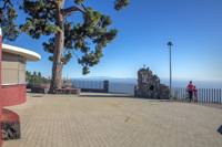
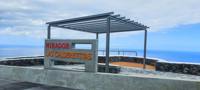
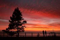
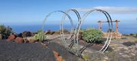
Viewpoints over volcanoes, vineyards, villages and coast, from the summit to the sea. On the LP-2, the El Charco Viewpoint looks out over the Tamanca Protected Landscape, and the Las Indias Viewpoint, renovated in 2026 with a décima and a sculpture, over the south-west coast and El Hierro. Above Los Canarios, two rest areas face the San Antonio volcano. On the west side, Los Espigones, Los Jablitos over the vineyards of Llanos Negros and Las Calderetitas over the La Zamora beaches. On the coast, the viewpoints of La Zamora, Puntalarga and El Faro, the last one at the southern tip of the island, between the two lighthouses and the salt pans. Several have plaques of the Ruta de la Décima. You can pick them by area; visibility changes with the weather.
Viewpoints
- Los Canarios Viewpoint.
- Los Jablitos Viewpoint.
- Los Espigones Viewpoint.
- Las Calderetitas Viewpoint.
- La Zamora Viewpoint.
- El Faro Viewpoint.
- Puntalarga Viewpoint.
- Las Indias Viewpoint.
- La Fajana Viewpoint.
- El Charco Viewpoint.
Before you set off
- Check each page for access and parking.
- Do not stop or walk on parts of the road not meant for it.
- Respect private property, crops and signs.
- Visibility depends on the weather.
To print (offline) and listen
This page is also available as a printable document and as audio.