Route · 10 stops
Landmark Areas of Fuencaliente
A selection for a first visit: Los Canarios, volcanoes, vineyards, lighthouses, salt pans and coast.
Route map
Use ⌘/Ctrl + scroll to zoom · two fingers on touch screens
Discover the route
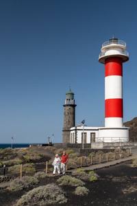
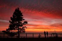
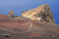
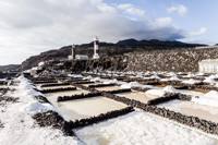
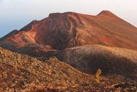
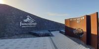
A selection for a first visit, from the summit to the coast: Los Canarios, the southernmost village on the island, with its Plaza Minerva and its church; the San Antonio volcano of 1677, with its visitor centre and viewpoint; the Teneguía of 1971 and the Roque Teneguía with its aboriginal engravings; the two lighthouses and the salt pans at the southern tip; Echentive beach, born from the last eruption; the Pino de la Virgen in the pine forest; the Las Indias Viewpoint over the west coast; and the vineyards of Llanos Negros. They are spread across the municipality and do not form a continuous walking route: choose your stops according to the time you have.
Provisional stops
- Los Canarios.
- San Antonio Volcano.
- Teneguía Volcano.
- Roque Teneguía.
- Fuencaliente Lighthouses.
- Fuencaliente Salt Pans.
- Echentive Beach.
- Pino de la Virgen.
- Las Indias Viewpoint.
- Llanos Negros.
Before you set off
- The sites are spread between the summit, the mid-altitude areas and the coast.
- This is not a continuous walking itinerary.
- Pick several stops according to the time available and check the access to each one individually.
To print (offline) and listen
This page is also available as a printable document and as audio.