Fuencaliente
Caldera del Búcaro
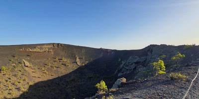
El Búcaro corresponds to one of the two eruptive emissions of the San Martín volcano, the eruption of 1646, and lies on the eastern coast of the municipality, at El Puertito. That eruption, also known as the Tigalate eruption, lasted 80 days, from 2 October to 21 December, and had two separate centres: one on the summit ridge, at 1,380 m, with a line of hornitos resting on the base of the Martín volcano, and a coastal one, El Búcaro, opened by a second fracture 3.7 km from the first.
Information
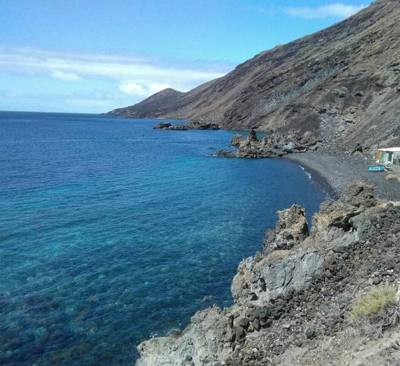
The coastal eruptive centre consists of two small cones or hornitos, the small vents that on La Palma are called búcaros and which give the place its name. From them flowed very fluid pahoehoe lavas, which formed a small, clearly defined delta-shaped coastal platform of great geological and scenic beauty. The track that descends from Las Caletas to El Puertito beach crosses those black lavas, and the El Puertito cliff is one of the sites of geological interest on the IGME map sheet.
It is visited by going down to El Puertito: by four-wheel drive or on foot along the track that leaves the LP-207 road at kilometre 3, along the SL FU 112 trail from Los Quemados or along municipal Route 5 from Los Canarios. It is part of the Volcanoes themed route. It should not be confused with the Búcaro de Martín, another hornito from the same eruption on the summit ridge, next to the crater of the Martín volcano.